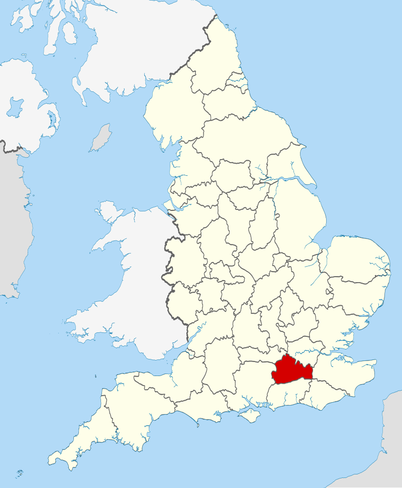
Surrey Records |
|
|
 |
Boundary Changes and Registration Districts
Throughout the years there have been a number of boundary changes
to Surrey and the other counties surrounding London (Middlesex and
Kent). Prior to 1889, London consisted essentially of the City of
London (the small area within the old city wall). Other parishes
were either in Middlesex (north of the Thames) or Surrey or Kent
(south of the Thames). However, for census purposes, from 1871
onwards the Registrar-General grouped together the census returns
from those parts of Middlesex, Kent, and Surrey which formed the
"metropolitan" area commonly called London as a separate "census
county", which later became the County of London when it was
created in 1889. As far as Surrey is concerned, these changes
concerned the Registration Districts (RDs) of Camberwell, Lambeth,
Southwark and Wandsworth. For further details of the boundary
changes see the note on Boundary Changes for
London and Surrounding Counties. In view of these boundary
changes, readers are advised to consult the pages for London if the Surrey records do
not include the information sought.The parishes included in the Parish Records below for Surrey are those corresponding to the old (pre-1889) county boundaries. The Census Records are grouped according to the pre-1889 definitions for the census years 1841-1861, and according to the the new boundaries for 1871-1911; thus for 1871-1911 census records for Camberwell, Lambeth, Southwark and Wandsworth RDs will be found in the London collections.
Parish Registers
-
Lovelocks
in Surrey by Parish Compiled by Robert
Sterry
Census Records
-
Lovelock extracts for
Surrey from the 1841 census
Lovelock extracts for Surrey from the 1851 census
Based on data originally compiled by Robert Sterry, reformatted by Graham Lovelock.
Lovelock extracts for Surrey from the 1861 census
Lovelock extracts for Surrey from the 1871 census
Lovelock extracts for Surrey from the 1881 census
Lovelock extracts for Surrey from the 1891 census
Lovelock extracts for Surrey from the 1901 census
Lovelock extracts for Surrey from the 1911 census
Lovelock extracts from the 1939 Register
Other Records
-
Lovelock extracts from
the Surrey Poor Law Records, provided by Robert Sterry